Monday, June 11, 2012

Mount McLoughlin 9495' (06-11-12)

Redemption!
A feeling of redemption, followed by a wolf cry, was what came out as soon as I reached the summit of Mt. McLoughlin. After a failed attempt last March due to deep snow and lack of snowshoes, it felt great conquering the mountain. Sure, it isn't the highest peak in Oregon, or even in the Top 5, but it is still a peak, and it is now on the bagged list.

At the trail head
Seeing a window of opportunity in the weather, we decided we had better strike while we could. This year has been pretty miserable with the weather always seeming to get in the way of our peak dreams. Regardless, we made the 4 hour drive down to the Sky Lakes Wilderness area. The unmaintained road to the McLoughlin trail head was interesting. Huge ruts, meant we were driving slow and careful not to bottom out the car. I would recommend being in a high clearance vehicle for the drive up.

The trail was clearly marked until you split away from the PCT. We had to do some map/compass navigating but mostly just kept the ridge in view. Someone had laid out some markers on the trees but more often than not we would lose sight of them. A huge storm must have rolled through at some point this winter because there were trees down everywhere. This of course just made the bushwhacking more fun.

Camp at 7200'
We decided to make camp right around the 7200' level. We found a place in the snow that was somewhat flat, but more importantly we had an unimpeded view of Mt. Shasta!

We watched the shadow of McLoughlin get bigger against the trees. Darkness descended on the valley around us, while Shasta still had the sun beaming on it. We had perfect cellular coverage at this point, mostly due to having a direct line of sight to Four Mile Lake/Klamath Falls.


The alarm went off at 3:30am and we were leaving camp, head lamped, around 4am. The temperature only dropped to 37degrees but the snow was nice and crunchy. Within 10 minutes we switched from trekking poles to ice-axe and crampons. The ridge was getting steeper and switching out made life a lot easier. We were able to climb straight up the ridge with no problems. Occasionally we would see the official trail but mostly we were zigzagging around rocks and trees.


Before the last 700' or so of elevation, we noticed some nice boot prints from the day prior. These made for good steps the rest of the way up the steepest portion of the climb.

 I felt really good during this portion. Our packs were light, I would say under 20lbs, which helped I am sure. I made extra emphasis to walk correctly with my ice axe and was implementing the "Whittaker Wheeze" as to not run out of breath.

I was actually somewhat surprised when I reached the top. I was expecting there to be "more" of the mountain left. I wasn't complaining though. I made my way around to the true summit accomplished and excited. We summited at exactly 7am, which is usually when I would be clocking in for work. Let's just say I was much happier to be on top of Southern Oregon's tallest peak!

Everything went relatively smooth on this trip. I honestly can't think of a single thing I would do differently (other than wrap my feet). All of my gear worked perfectly the way I wanted it too.


Final Stats:
Summit: Yes
Elevation Gain: ~4000'
Round Trip Distance: 10.5 miles
Round Trip Time: 23hours (This includes overnight camp)



Friday, June 8, 2012

2012 Prospectus (Updated)

Here is a look at the climbs I would like to do this year. 3-4 of my trips are scheduled to be with my climbing club, the Chemeketans. The other trips will most likely be with only 2-3 people.

April 2012 

- Chemeketans Climb School (Completed 04-15-12)

May 2012 

- Training Hike with the Chemeketans for Mt. Hood
- Mt. Hood (via South Side) - 11,239' Cancelled due to weather

 June 2012 


- Mt. McLoughlin (round 2) - 9,495' (Completed 06-11-12)

 July 2012 

- Mt. Adams (via Mazama Glacier) - 12,276'
- Middle Sister - 10,056' (Completed 07-22-12) 

August 2012  

- Broken Top (NW Ridge) - 9,175' (Completed 08-08-12) 
- Mt. Washington

September 2012 

- No climbs


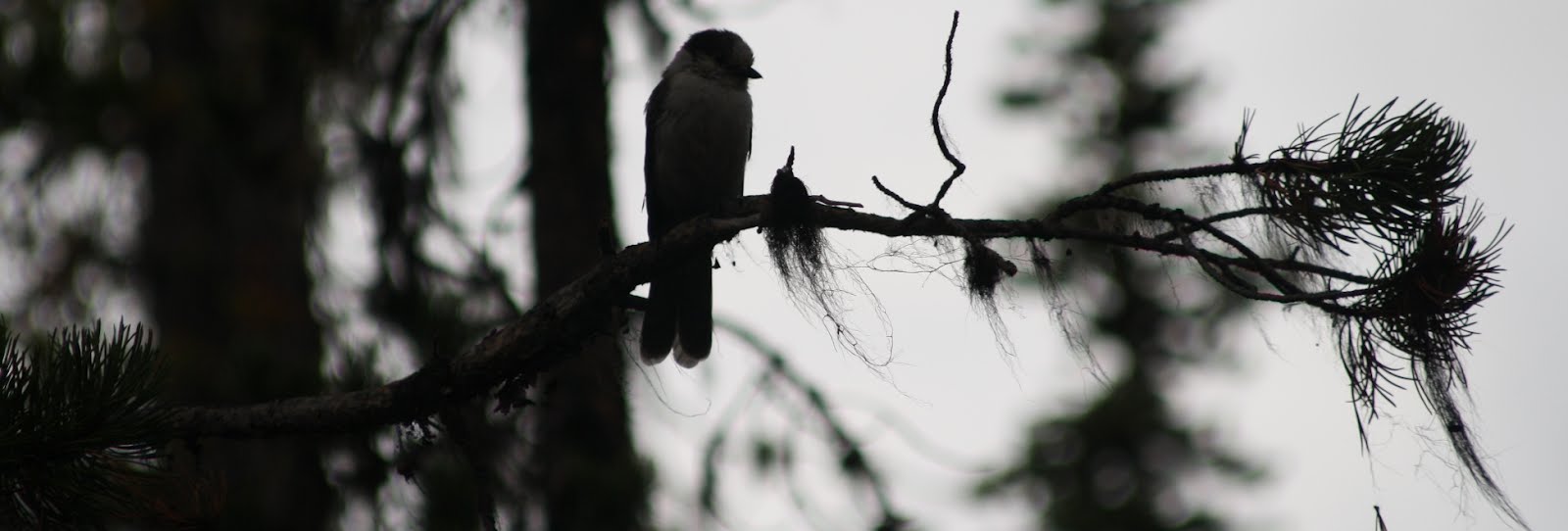
Bird at Devil's Lake Campground

Tuesday, May 8, 2012

Mount St. Helens 8365' - Worm Flows (12-12-11)

This photo was taken by other climbers and sent to us. I am on the left.
Map of climbing routes on St. Helens
After an unusually mild winter up til that point, we looked at the weather on a Friday and I jokingly made a comment that we should try to summit St. Helens the following Monday. The thing about saying something like that to another mountaineer with summit fever is that they will share the same crazy idea. After settling things with work and our families we decided to start trip planning.

The first aspect to think about was gear. I had not yet done a winter or potentially icy summit yet. I had already purchased my Black Diamond Raven Pro Ice Axe Silver, 70cm however and was more than ready to use it.

Next and bigger aspect would be Boots/Crampons. I decided to visit my local REI and rent some universal crampons but they don't do that. REI made me rent a pair of boots and semi-auto crampons

Climber Registration at Lone Fir
Monday the 12th rolls around and I sneak out of the house around 3:00am in order for us to get an early start. Before too long we are already near Cougar, WA where we stop a location I had visited less than 6 months earlier. The Lone Fir Resort. Of course at 5:30ish in the AM there was no one around but us. So we wiped the frost off of the climber register handbook and wrote down our party info in case we went missing.


Looking up from the ski trails
Within a half our later we park and get ready to depart the Marble Mountain Sno Park. Here we are at a whopping 2700' of elevation. Which is about 1000' lower than the Climber's Bivouac. As we make our way with headlamps up the ski-trails I start to notice that my heavy rental boots aren't feeling so good on my right heel. After only a mile and a half into the trip, I decided to access what is going on with my heel. I pull off my right boot only to find that the inner liner of the rental boot was completely gone. (Because I have an REI Membership they refunded me the entire cost of my rental) I used some of Mason's moleskin to patch up around where the blister was forming and decided to keep going. Minutes later I realize that I had left a glove somewhere on the trail. (Lesson learned, shortly after this trip I purchased the REI Switchback Gloves )

If it sounds like everything was going wrong, well it was. I of course didn't have spare gloves so I opted for a wool sock, which is really not a good substitute at all I found out. As we get above the treeline my spirit is lifted again. It is truly a beautiful day and we can see forever.

Looking south

There I am, far far away contemplating life and being miserable
Now we worked our way slowly up the mountain. All my hard training and conditioning for this climb would have paid off had I done any. After a lazy football season full of enough chips and dip to feed an army, I was much more out of shape than on my previous climbs that year. As I put one foot in front of the other my mind was breaking. Mason was getting a ways ahead of me and I had to dig deep and ask myself if I thought I could actually make the summit. I actually wasn't sure if I could or not. It seemed like miles away and the mountain was only getting steeper. This added with other annoyances made this trip the most difficult I have done thus far.

But alas, we reached the top and traversed west along the ridge to the top. Our moment of glory at the top was out-weighed by the need to get back to the car before dark. Of course, on par with how the day was going, we couldn't glissade like we had hoped due to the snow being too hard/icy. So we down-climbed the entire thing and got back to the sno-park just as it was getting dark outside. We ran into a sheriff heading up the road as we were going down. I am assuming he was checking to see if our car was still there. I went to bed with what felt like a fever but woke up perfectly fine.


View from the top. Rainier in the distance.


Final Stats:

Summit: Yes
Elevation Gain: 5665'
Round Trip Distance: 10.6 miles
Round Trip Time: 11 hours